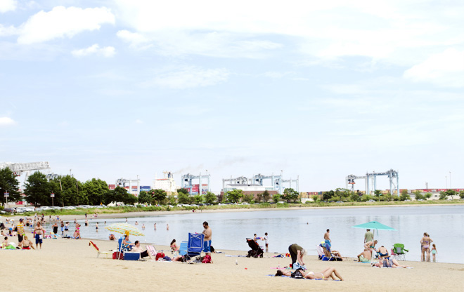
The Beach at Pleasure Bay
The Pleasure Bay beach brings huge relief to Southie during the summer -- even though its half-mile of beachfront sits immediately alongside 2,000 running feet of docking, six major loading gantries, and 60 acres of container storage at Massport’s Conley Terminal.
Image: Hillary Archer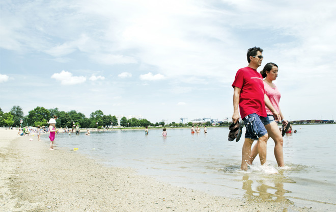
Strutting on Pleasure Bay
The beach is a place to be seen.
Image: Hillary Archer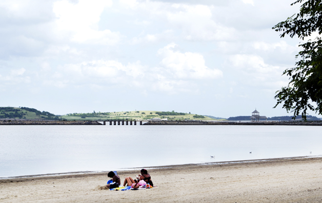
Pleasure Bay and Spectacle Island Beyond
One of two tide gates on the causeway, center. The gates allow the basin to remain full during the ebbing tide. Spectacle Island’s long drumlin shapes were formed from construction spoils during Boston’s Big Dig.
Image: Hillary Archer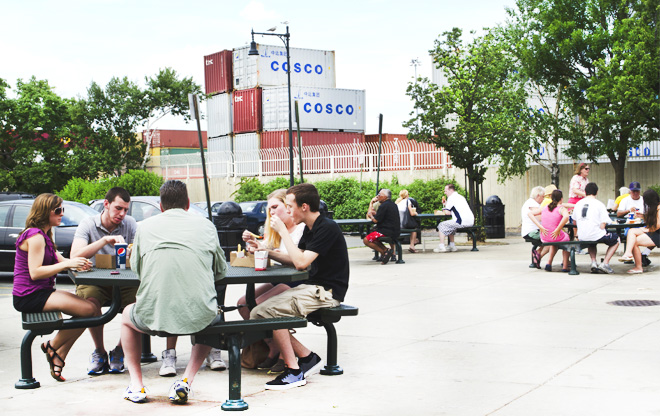
Sullivan's at Castle Island
The juxtaposition of Sullivan’s eatery and the container storage at Conley Terminal often goes unnoticed; ice cream and fries may be the primary reasons.
Image: Hillary Archer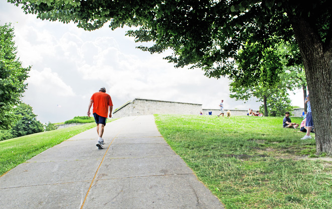
Approaching Fort Independence
Today’s fort was completed before the Civil War, though this site has been continuously occupied by defensive forts since 1634. The island was connected to Pleasure Bay in the 1930s.
Image: Hillary Archer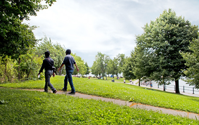
Upland Path at Fort Independence
The fort provides long distance views to the city skyline and the islands from its varied heights and ramparts.
Image: Hillary Archer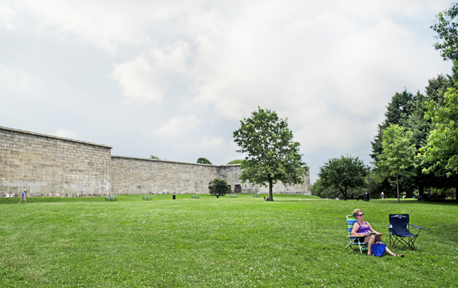
Ramparts, Fort Independence
There is ample space atop the fort’s rise for sunning and gathering.
Image: Hillary Archer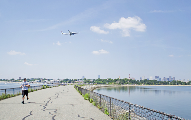
Head Island Causeway
Though the causeway itself doesn’t reflect high design ideals, its situation is remarkable: close to downtown, extending into the open ocean, and on the flight path to Boston’s Logan Airport. Contrasts abound.
Image: Hillary Archer