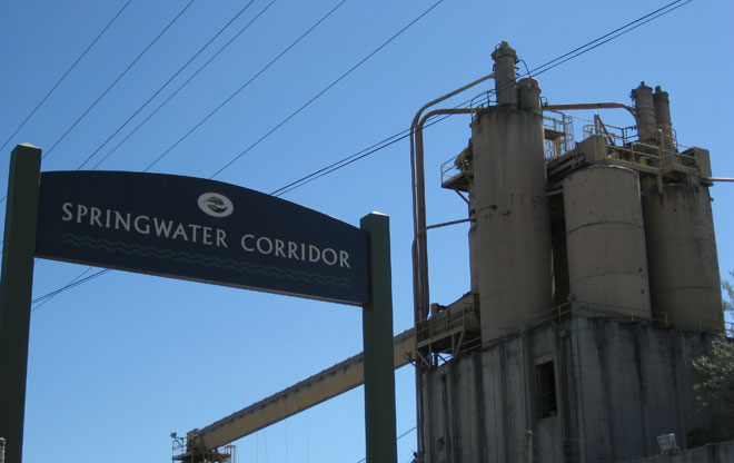
Gateway to Nature
The northern entrance of the Springwater Corridor is marked with a gateway sign at SE 4th Avenue and Ivon Street in Portland’s Central Eastside Industrial District. The trail serves both commuter and recreational cyclists, and provides a paved off-street path for running, walking, and rolling.
Image: Jean Senechal Biggs 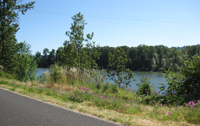
Springwater on the Willamette
The asphalt-paved trail along the east bank of the Willamette River provides views of Ross Island and glimpses of downtown Portland and the South Waterfront district on the west side of the Willamette. This three-mile section of the trail – also known as Springwater on the Willamette – opened in 2005 and provides stunning views of the river through the trees and grassy meadows.
Image: Jean Senechal Biggs 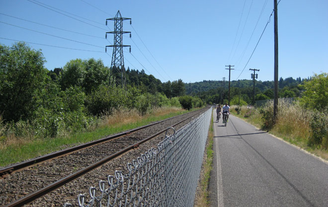
Rails and Trails
Along this section of the Springwater Corridor, the former Portland Traction Company rails remain. The line is still in use and currently operated by the Oregon Pacific Railroad.
Image: Jean Senechal Biggs 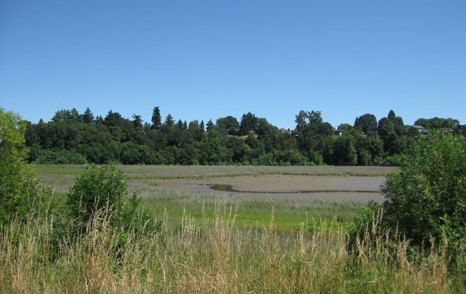
Open for Wildlife
Views from the trail open onto the Oaks Bottom Wildlife Refuge, a floodplain wetland that was Portland’s first migratory bird park. Thousands of birds fly through the refuge during their annual migrations.
Image: Jean Senechal Biggs 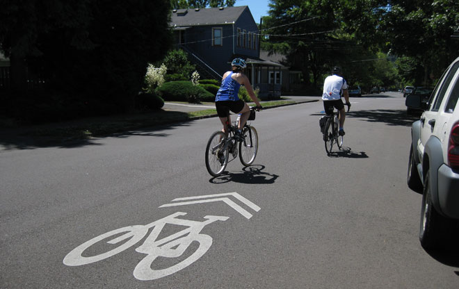
Detour on Neighborhood Greenways
At SE Umatilla Street, the trail detours through Sellwood. Trail users travel along marked neighborhood greenways – residential streets with low volumes of auto traffic and low speeds where cyclists and pedestrians are given priority. Pavement markings, called sharrows, highlight the presence of bikes in the street. Through policy direction from the Portland Bicycle Plan for 2030, Portland is creating a citywide network of neighborhood greenways to improve safety, enhance livability, and accommodate the continuing growth of cycling in the city.
Image: Jean Senechal Biggs 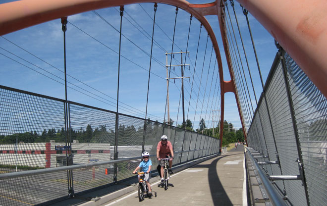
The Three Bridges
Back on the trail at milepost 5, near SE 19th Avenue and Umatilla Street, is a dramatic sequence of three bridges built in 2006 by Portland Parks & Recreation. These bridges connect the Springwater over three obstacles – Johnson Creek, McLoughlin Boulevard, and the Union Pacific Railroad – instead of sending trail users onto busy streets to access the corridor further east.
Image: Jean Senechal Biggs 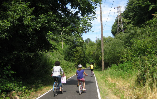
Through the Canyon
The land on both sides rises above and the Springwater Corridor changes from the open, grassy trail to a dense, vegetated canyon where one hears birds singing and insects strumming in the summer months. Electrical transmission towers are visible and in use along the corridor, a reminder of the early development of the Springwater Line by the Oregon Water and Power Railway that included the construction of hydroelectric dams at the end of the line and then transmitted electricity back to Portland through the corridor.
Image: Jean Senechal Biggs 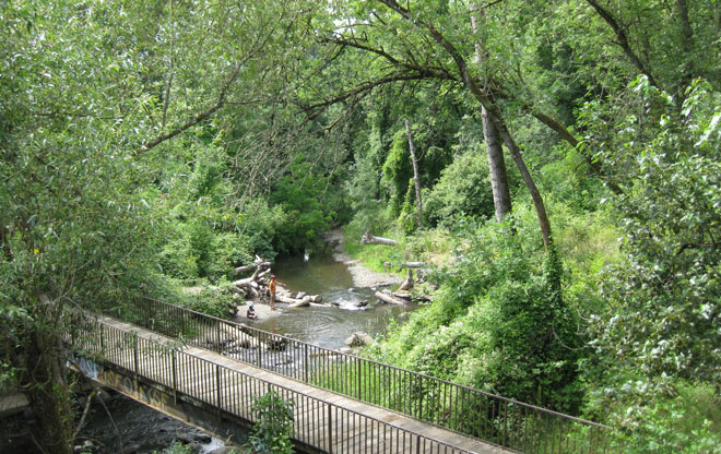
Connecting with Nature
Just off the trail, Tideman Johnson Park enables people to connect with nature and encounter Johnson Creek. The Springwater Corridor crosses the creek in several places as it meanders on its way to the Willamette River. Restoration of the creek, a waterway affected by decades of nearby industrial uses, has been an ongoing effort that dates back to the mid-1980s and is now led by the Johnson Creek Watershed Council. Work is underway to restore riparian zones and create habitat for birds, beavers, and spawning salmon.
Image: Jean Senechal Biggs 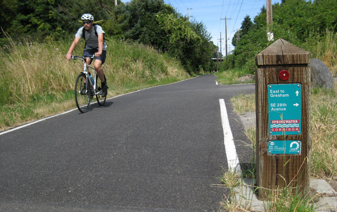
Marking the Way
Wayfinding markers are a consistent design along the trail, identifying key junctions and mileposts. Each includes the logo for the 40-Mile Loop, reminding trail users the Springwater Corridor’s connection to the regional planned network of over 140 miles of trails in the Portland area. As the trail continues east, it provides a unique, off-road connection to a series of public parks, community resources, and natural areas including Beggars Tick Wildlife Refuge, Furey Community Garden, Zenger Farm, and Powell Butte Nature Park.
Image: Jean Senechal Biggs 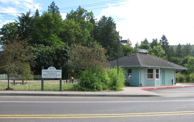
Historical Connections to Transportation
The Springwater Corridor passes through Southeast Portland neighborhoods, industrial areas, and natural areas and into Gresham, Portland’s suburb to the east. The trailhead at Linnemann Station provides access to the corridor and includes a small building with a community room modeled after the original depot building that burned down in 1995. The trail continues further east from here through to Gresham.
Image: Jean Senechal Biggs