
Smart Communities Begin with Smart Design
12/22/2015Leave a Comment
Creating safe, vibrant, and sustainable communities in the modern age is no easy task. Complex problems like urbanization, globalization, and extreme weather require a new way of planning and designing our communities.
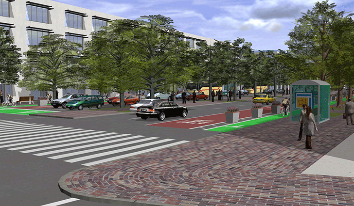
Planning and design professionals use intelligent mapping and geospatial technology to create places where people can live, work, learn, and play. Esri’s ArcGIS platform provides a complete foundation for managing the planning lifecycle. From initial design to scenario modeling and final approvals, you’ll get the tools you need to create great designs informed by their geographic context that you can share with clients, the public, and planning officials.
And now, GIS helps you to apply geodesign and 3D design to your projects. You can establish key rules and procedures that guide designs in intelligent ways. GIS technology helps you manage your design across scales, from a city or neighborhood to an individual building, seamlessly transitioning from land-use designations to individual setbacks and other design considerations. And since you’re managing everything within ArcGIS, any changes you make adhere to the rules you’ve established and work in harmony with the rest of your design.
With GIS, you can increase design efficiency, reduce change orders, and communicate more effectively with clients and communities. To level the playing field for small landscape architecture and urban planning and design firms, Esri has put together a specially priced bundle of software with everything you need to take a smarter approach to design.
Smart communities really do begin with smart design. To start embracing evidence-based design in your efforts and begin planning tomorrow’s next great communities, visit Esri in booth 2238 at the ASLA 2015 Annual Meeting and Expo. Or get started right away by visiting www.esri.com/ASLA offer to take advantage of this limited time offer.
~~~~~~~~~~~~~~~~
Since 1969, Esri® has been helping organizations map and model our world. Esri’s GIS software tools and methodologies enable these organizations to effectively analyze and manage their geographic information and make better decisions. They are supported by our experienced and knowledgeable staff and extensive network of partners and international distributors.
.png)
.png)
.png)
.png)
.png)
(1).png)